Are you looking for support from US? GET SUPPORT
Sign out

Session expired

Radius Mapping

One interface. Zero distractions. Better 911 responses.

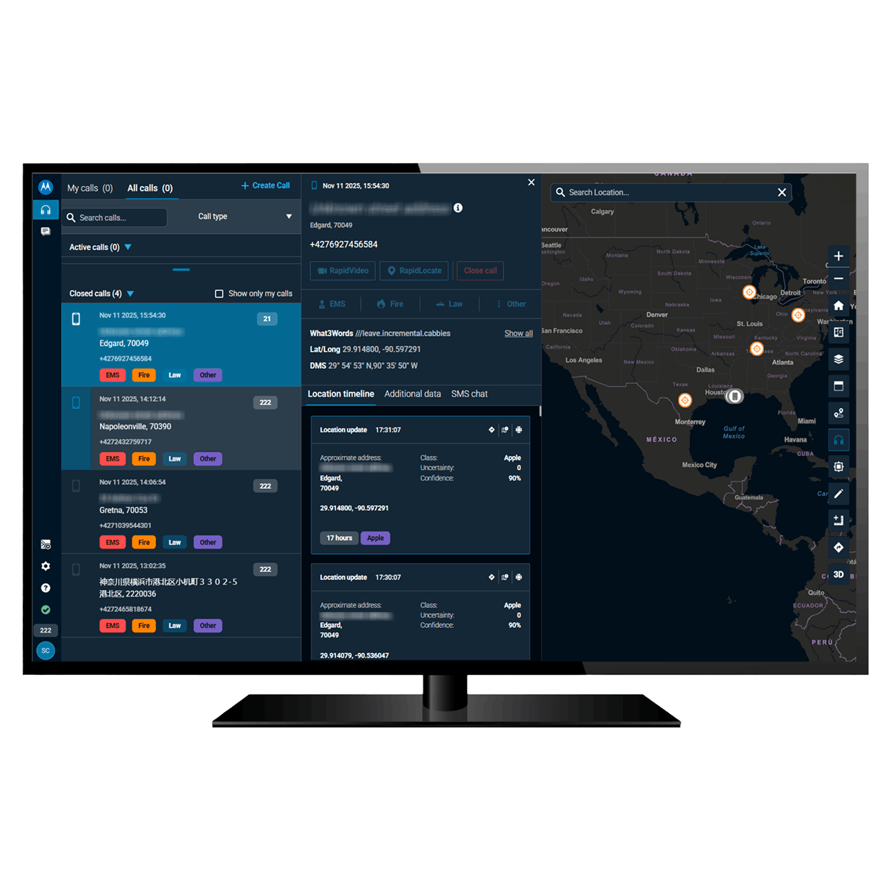
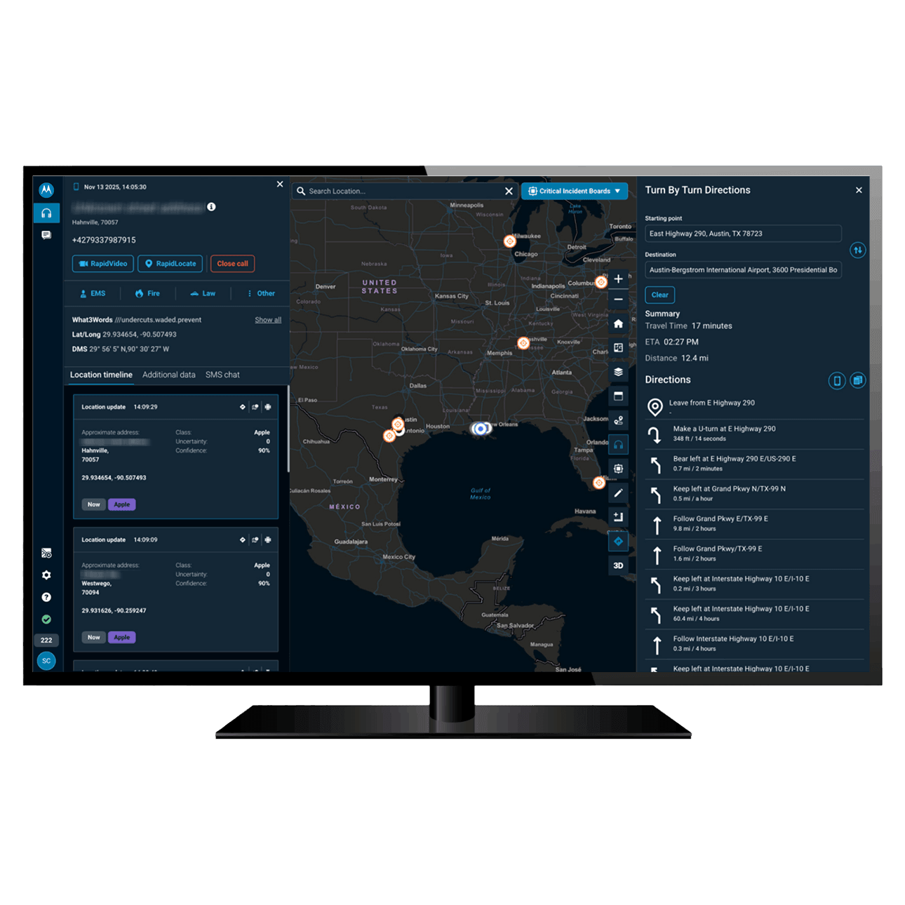
Radius centralizes all 911 call data in one intuitive interface, so you can help the public more quickly.

  • The most accurate location information
  • AI transcription, translation and summaries
  • 20+ basemaps including Esri, Google & Waze
  • Built-in video streaming & text messaging
  • Inter-PSAP CAD data sharing & messaging
  • Centralized 911 call data for investigators

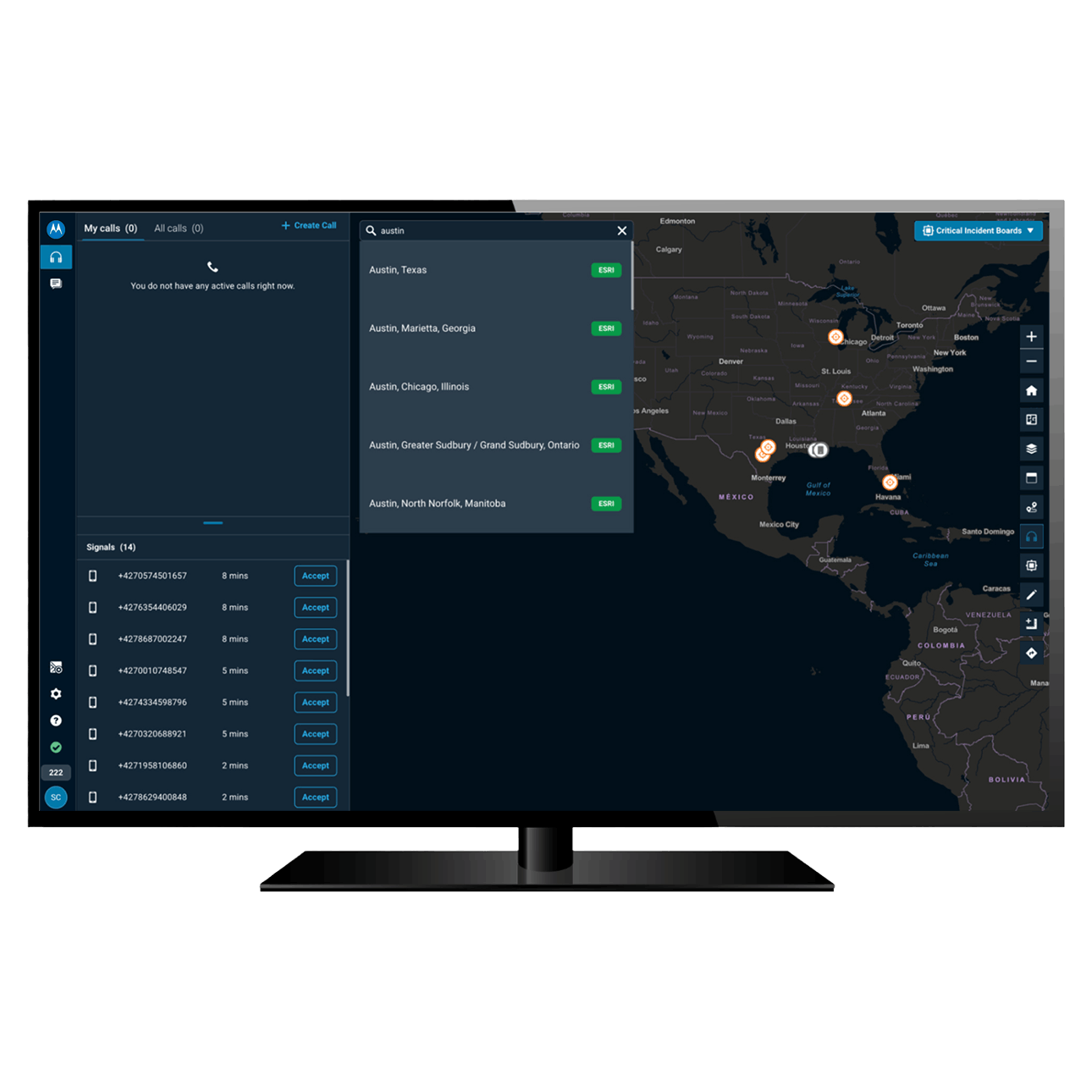
Coordinate a frictionless response with all 911 data on one screen

Eliminate screen switching and keep your team’s attention where it counts. Centralize important call information into a single, human-centered interface for rapid resolution.

Radius Mapping (light mode)

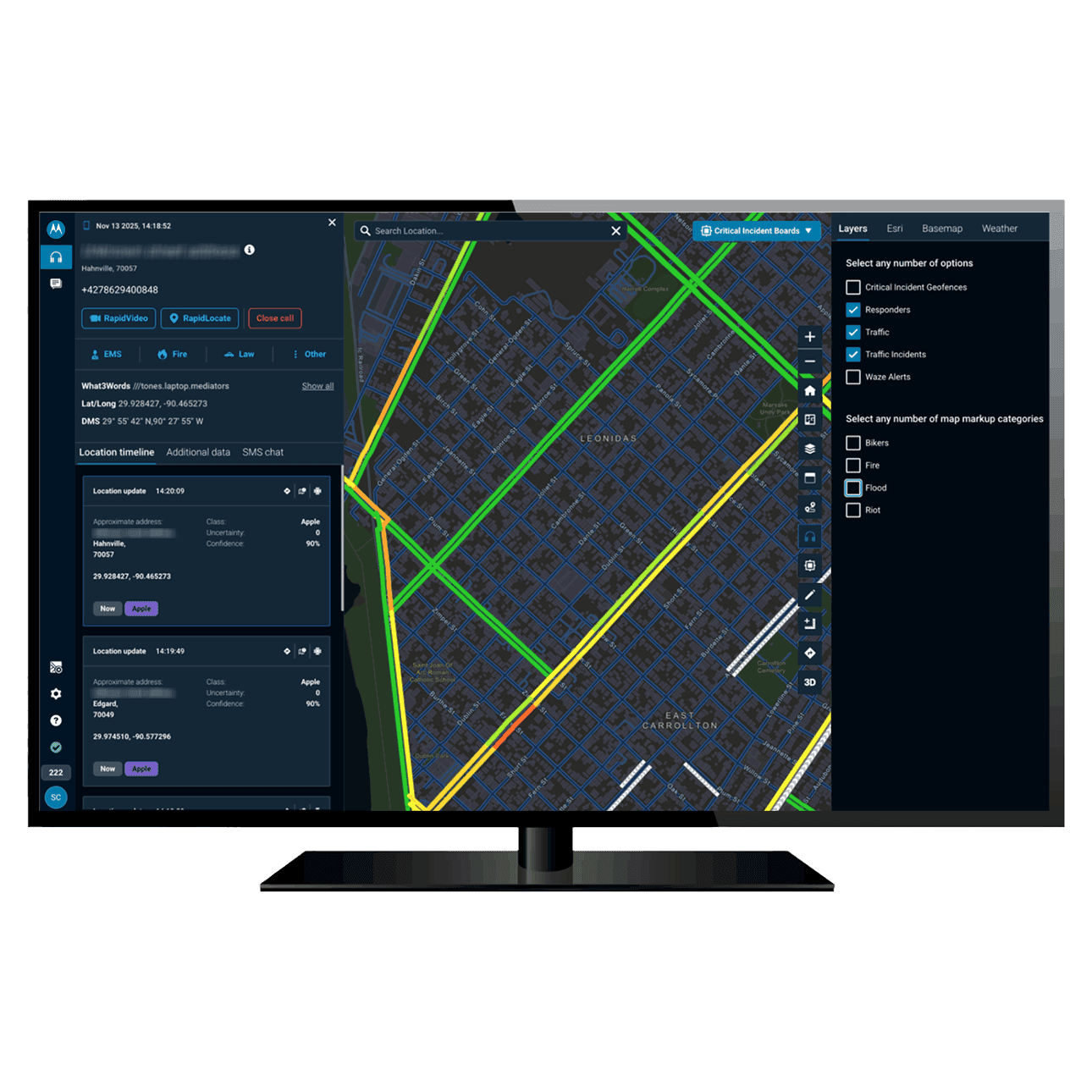
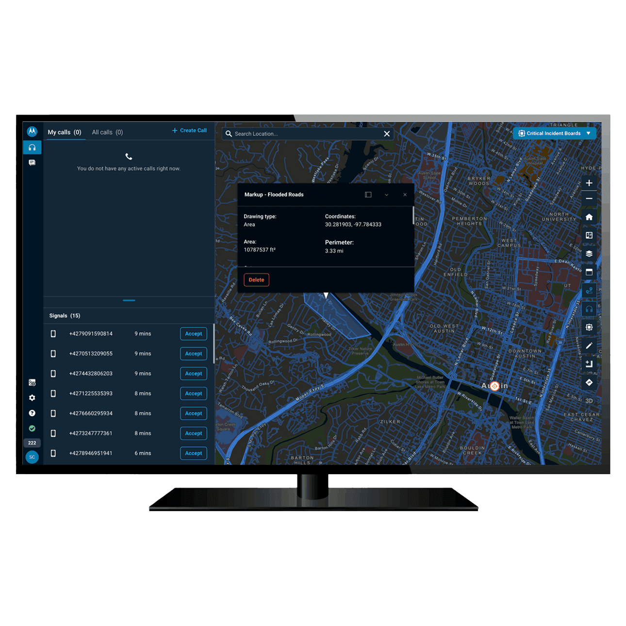
Information visible on the Radius map
20+ customizable basemaps

A facility’s on-site information

A caller's medical conditions, pets and vehicles

Panic button alerts

Responder locations

Indoor floor plans

Weather

Traffic and traffic incidents

Radius Mapping, by the numbers

Radius Mapping is already helping communities all over the country - what could it do for yours?

36

states are using Radius Mapping

1,200+

PSAPs are using Radius Mapping

900+

cities rely on Radius Mapping

Use precise location data for targeted interventions
Radius location sources

Use precise location data for targeted interventions

Highly precise location data, gathered from a number of sources, enables your team to find callers and direct operations more effectively so the public receives critical assistance without delay.

Read datasheet

Ready to meet court requirements easily with centralized evidence management?

Contact sales

Quickly find and handle all relevant call data in one location for an accelerated, audited discovery process which is completely secure.

Unify fragmented 911 call data into a single, AI-enhanced interface

Radius Mapping eliminates technical friction and reduces cognitive load – empowering telecommunicators to act with precision from the first seconds of a call to the final evidentiary audit.

Get your community the help they deserve - in any language, via any medium

Bridge the communication gap and arrange assistance more quickly by engaging callers on their own terms – enabling your team to provide high-quality service regardless of the caller’s language, or how they choose to connect.

Radius Mapping (light mode)

Let AI handle the noise, so your team can focus on the caller

Rely on responsibly designed AI tools and agents to surface critical insights and context around a call, reducing the cognitive load on your team and empowering them to prioritize life-saving decisions.

Radius Mapping dark screen

Leverage comprehensive data sharing to coordinate across jurisdictions

What starts in one jurisdiction won’t necessarily stay there. Use Radius Mapping to securely share relevant incident information, automate mutual aid requests and coordinate multi-agency responses, all from one screen.

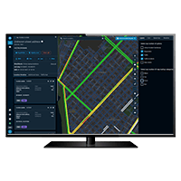
Radius Mapping computer screen

Working with you to transform your PSAP

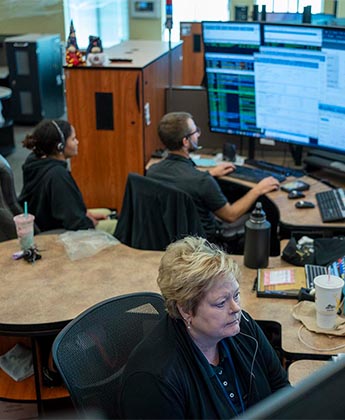
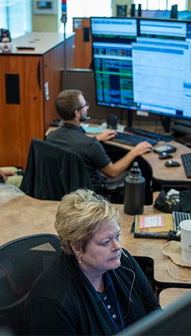
First responders deserve technology that works as hard as they do. Motorola Solutions is uniquely positioned to offer you a comprehensive suite for your PSAP spanning next-generation core services, emergency call handling software, call analytics, mass notifications and more.
Explore the ecosystem

Working with you to transform your PSAP

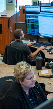
First responders deserve technology that works as hard as they do. Motorola Solutions is uniquely positioned to offer you a comprehensive suite for your PSAP spanning next-generation core services, emergency call handling software, call analytics, mass notifications and more.
Explore the ecosystem
Radius top let image Radius top let image Radius top let image
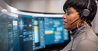
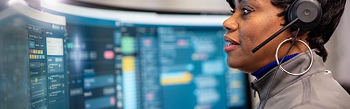
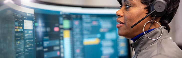
Woman looking at desktops Woman looking at desktops Woman looking at desktops
Woman looking at computer screen Woman looking at computer screen Woman looking at computer screen

Get the map that’s right for your PSAP

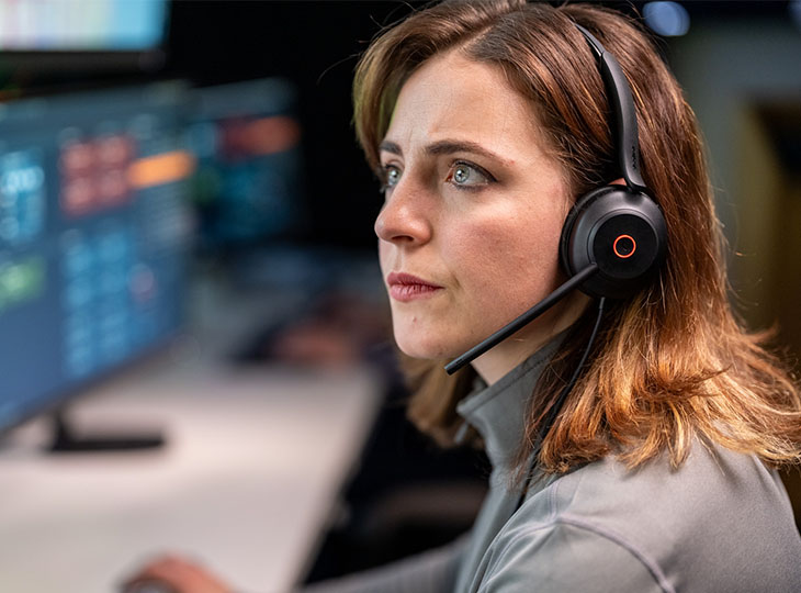
Radius is offered in two tiers, so your telecommunicators get the tools that are right for them.

See what customers are saying about Radius Mapping

From reducing call response times to locating callers more quickly than before, Radius Mapping is transforming how PSAPs work across the United States.

“The platform improves the workflow of a call taker, powers faster emergency response, greater situational awareness for first responders, and ensures that we have the reporting we need to make effective decisions across Kentucky."

Mike Sunseri
Administrator, 911 Services Board, KY

“With Radius Mapping we have so much confidence in the accuracy of the location being provided with the enhanced location information. We can more confidently dispatch units.”

Stacy Miller
Supervising Dispatcher, SHASCOM-911, CA

“I canʼt stress enough how helpful [Radius Mapping ]is.This amazing technology is a lifeline in our rural areas, on and off the reservation.ˮ

Amy Evans
Dispatch Supervisor, White Earth Nation, MN

Please wait...

Contact sales