
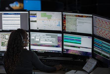
Voice and Computer-Aided Dispatch
"I’m the calm voice when you’re in distress. When every second matters, I guide the response."
Make dispatch more efficient and responders safer with incident-based talk groups and a singular, real-time view of emergency call data and locations of callers and first responders.
Anything can happen in seconds.
Give first responders the right information, the first time. When responders know what they’re facing before they arrive, they can move quicker to keep the public—and themselves—safe.
Coordinate a quicker response
Enable dispatchers to process critical information and notify first responders within seconds.
Maximize collaboration
Optimize interoperability between agencies, systems and databases to keep everyone connected in real time.
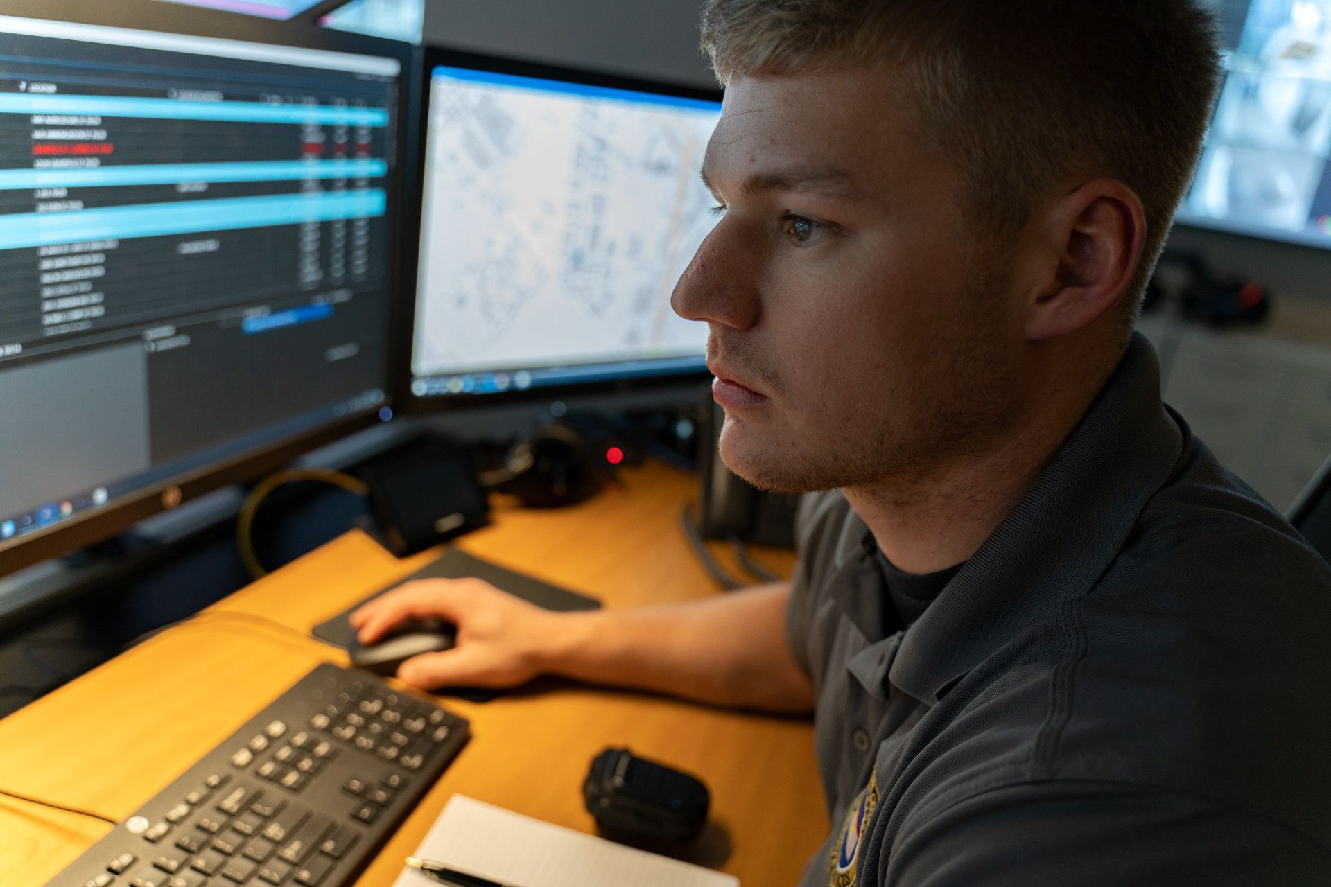
Keep officers and citizens safe
Maintain situational awareness as incidents escalate with real-time response location, status information and alerts.
Voice and Computer-Aided Dispatch Solutions
Resolve incidents faster and more safely with a unified, real-time operational view.
PremierOne® CAD
Streamline the data flow from call-taking to dispatch and focus on coordinating response to large-scale incidents with decisive speed and maximum configuration.
Learn more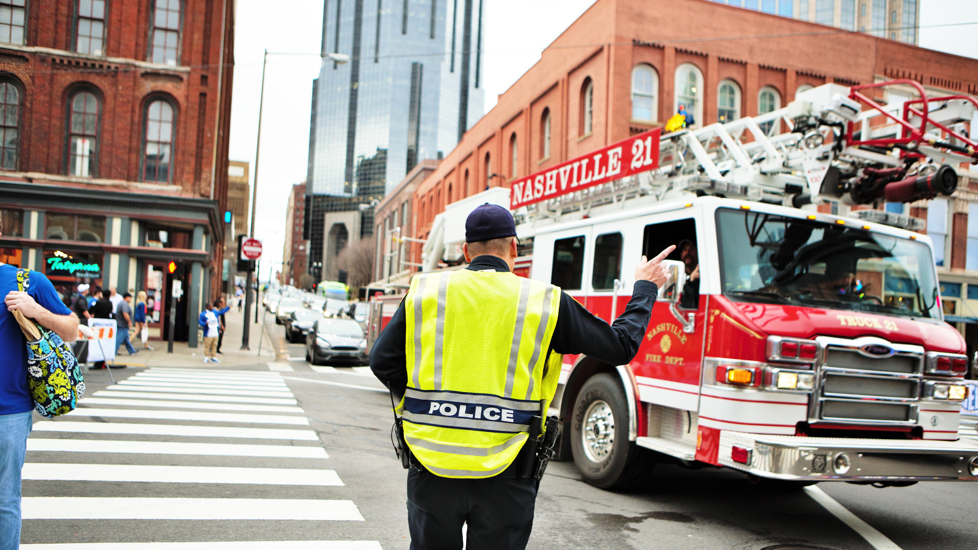
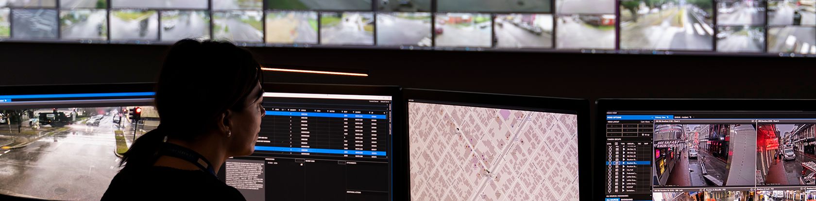
Streamlining dispatch operations
Metro Nashville Emergency Communications Center streamlines dispatch to multiple agencies to keep residents and tourists safe.
It’s a calm voice. It’s me speaking for you, when you can’t. When everything in your head is scrambled and you have no idea what you need. I’m going to figure that out for you.

Sam Hall
911 Dispatcher, Addison Consolidated Dispatch Center, IL