Copied
Share this page
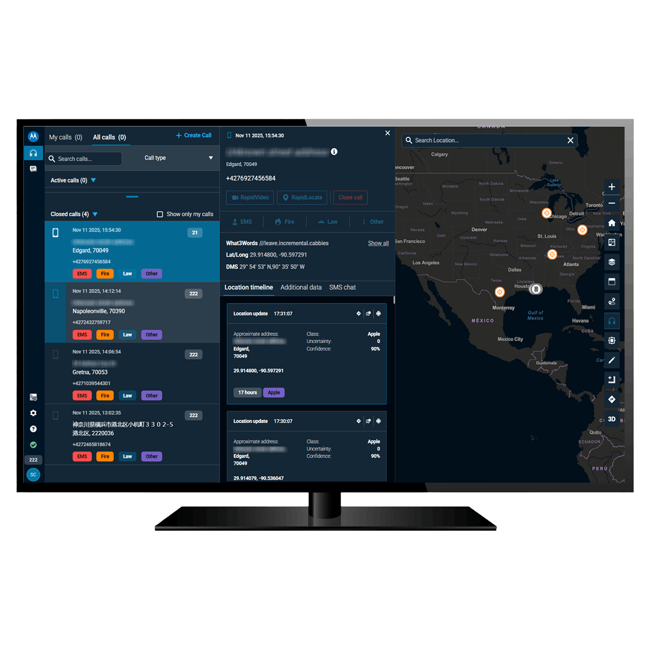
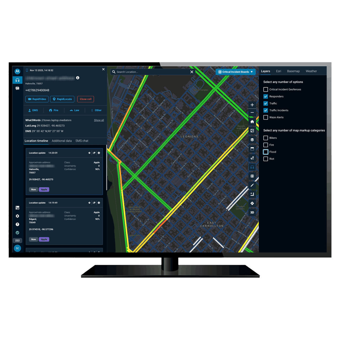
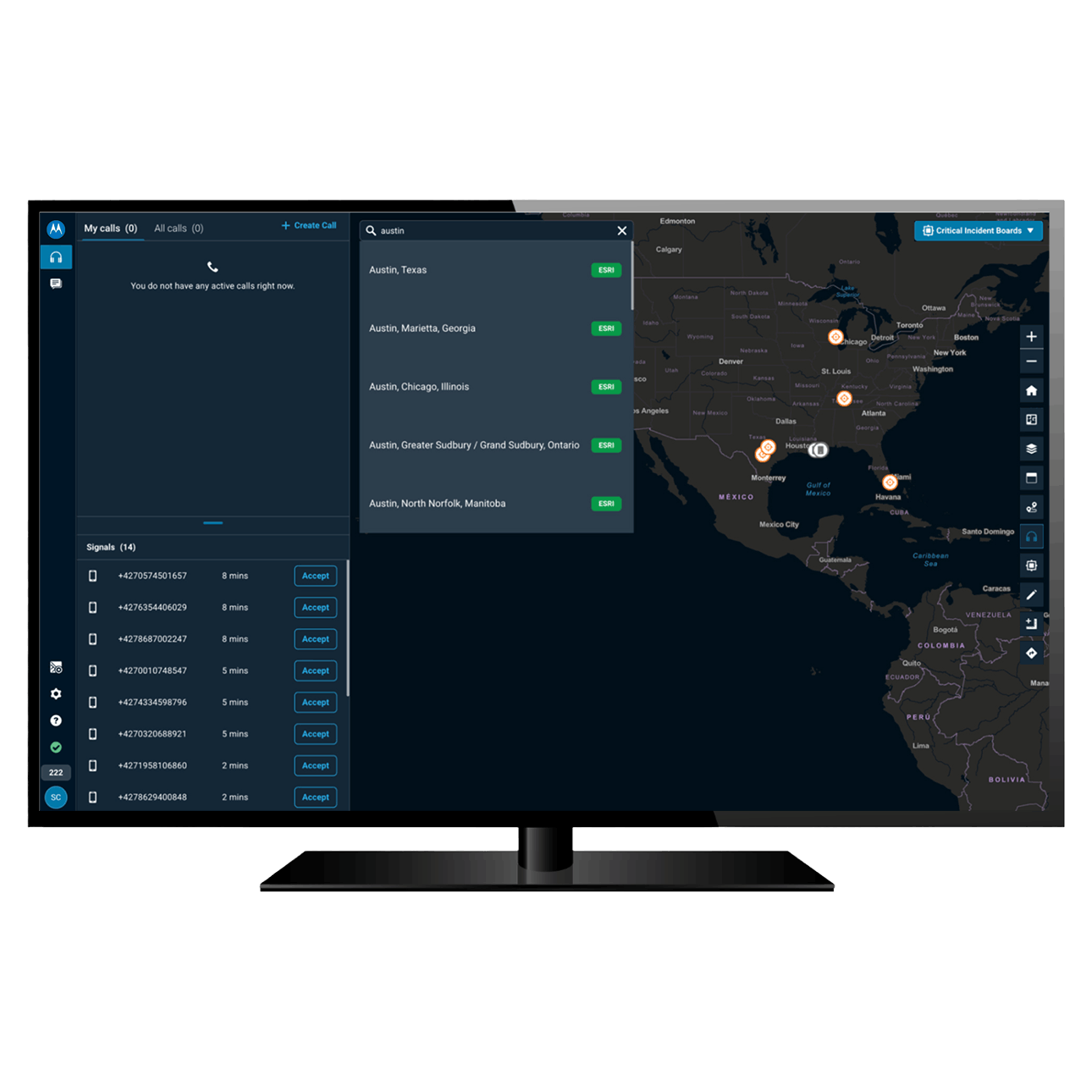
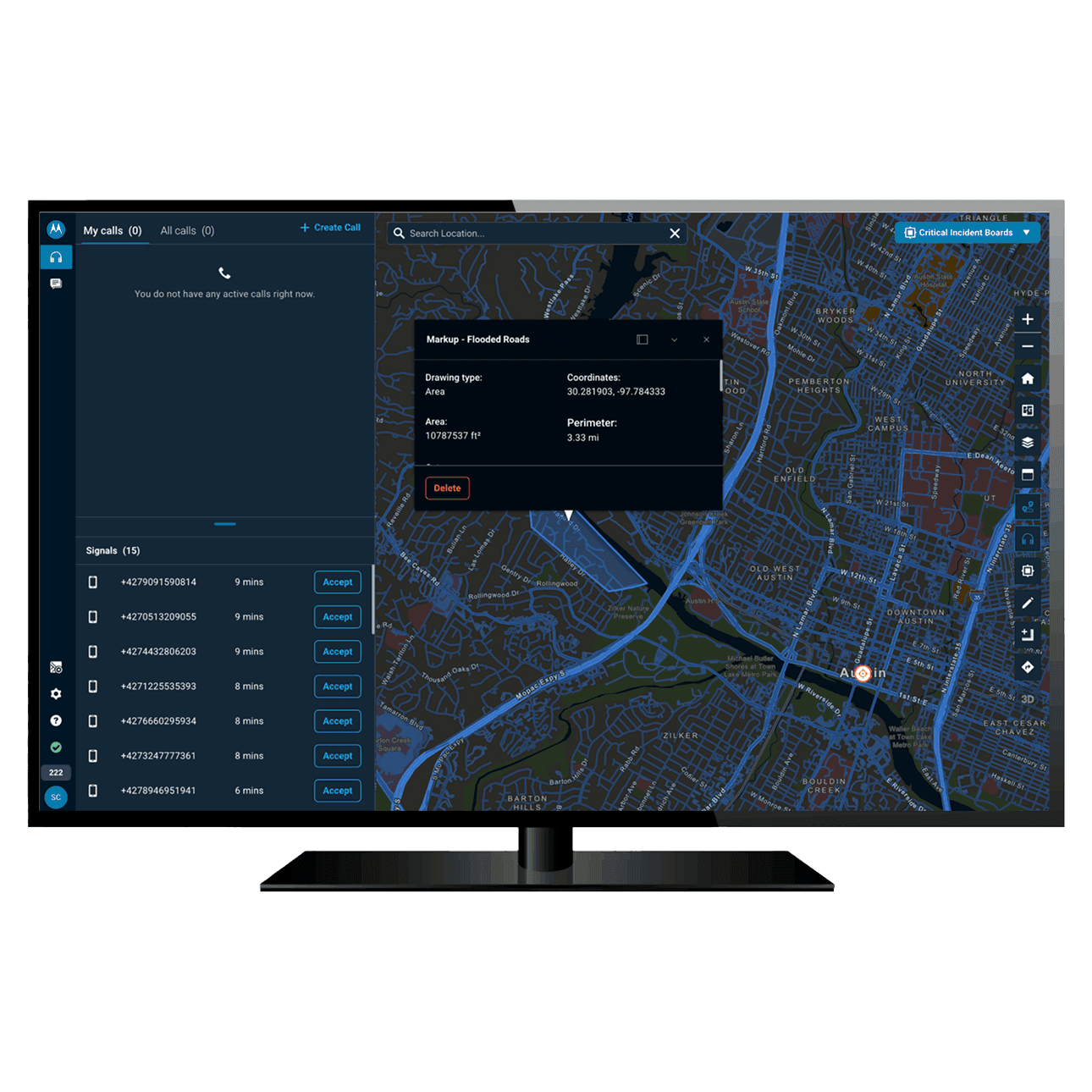
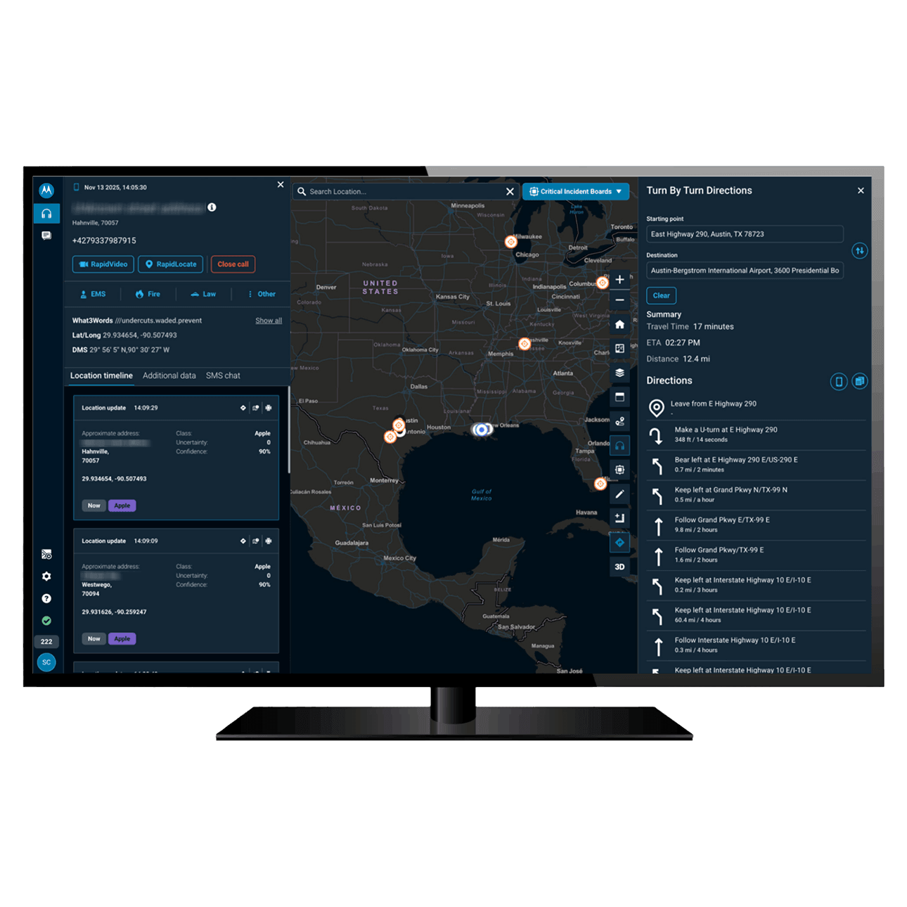

Information visible on the Radius map


Use precise location data for targeted interventions

Use precise location data for targeted interventions
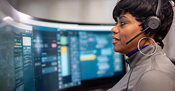
Highly precise location data, gathered from a number of sources, enables your team to find callers and direct operations more effectively so the public receives critical assistance without delay.


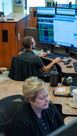
Working with you to transform your control room
First responders deserve technology that works as hard as they do. Motorola Solutions is uniquely positioned to offer you a comprehensive suite for your control room, spanning emergency call handling software, computer-aided dispatch and more.
Working with you to transform your control room
First responders deserve technology that works as hard as they do. Motorola Solutions is uniquely positioned to offer you a comprehensive suite for your control room, spanning emergency call handling software, computer-aided dispatch and more.


- Essential Software
- Essential


