Environment
We strive for a greener future by setting waste reduction and recycling goals, promoting environmental education and implementing sustainable practices within our operations.


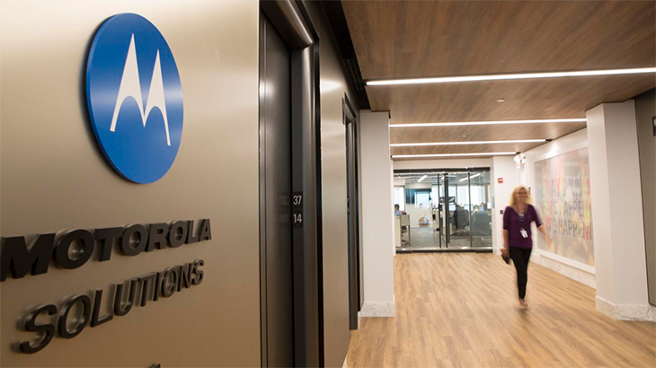
This year’s report highlights the unwavering dedication of our people and the purposeful ways our technology helps make the world safer through measurable and meaningful outcomes.
Every facet of our business is influenced by our global commitment to corporate responsibility. Our programs center around six pillars that communicate how we drive meaningful change and make a positive impact for
employees, customers, communities and shareholders.

We strive for a greener future by setting waste reduction and recycling goals, promoting environmental education and implementing sustainable practices within our operations.

Investing in the growth and development of our people is vital to creating an environment where employees know that their work matters, are recognized for their contributions and feel a sense of belonging.

The Motorola Solutions Foundation has collaborated with numerous organizations to foster meaningful impact in communities worldwide.

At the heart of what we do is purpose-driven innovation, using technology and a deep understanding of customers’ needs to solve problems. We empower end users to protect and serve their communities.

We are committed to responsible sourcing and maintaining high ethical standards throughout our supply chain. We understand that acting with integrity enables us to consistently deliver for our customers.
Our commitment to high standards of ethics, transparency and accountability are upheld through our well-established governance and compliance programs.

Please wait...