NEW IN COMMANDCENTRAL Aware - Q4 2023
We're excited to review the work done this past quarter to improve the CommandCentral Aware experience for users of the cloud-based platform. For any questions, please contact customer success.
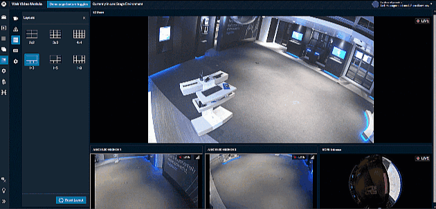
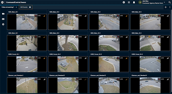
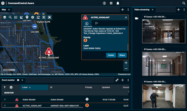
Access More Video in CommandCentral Aware
As video becomes increasingly widespread, a major city manager could manage as many as 32,000 video feeds - and growing. That’s why public safety agencies use CommandCentral Aware, to view video from almost any video management system, as well as body, in-car and license plate recognition cameras. Now, agencies can expand coverage by securely accessing video from community partners, such as businesses, schools and places of worship.
Motorola Solutions Edge Appliance
The Motorola Solutions edge appliance enables you to securely access live video from community partners in your public safety command center. The appliance is manufactured by Dell and arrives pre-configured with secure Motorola Solutions software. The edge appliance is easy to deploy by either you or your community partner. It connects up to 30 cameras* and can stream eight video feeds in CommandCentral Aware. The appliance is encrypted and secure from end to end, and will immediately stop transmitting upon detecting a breach and will be disabled for use.
*Cameras must be ONVIF Profile S conformant. Learn more about this requirement here and search for cameras that meet the requirements here.
Get the fact sheet
NOTE: There is an additional hardware cost to purchase an edge appliance. Talk to your Motorola Solutions sales representative for additional details and pricing.
Direct Video Connection to IP Cameras
Agencies can now connect publicly available IP cameras, including from government entities such as the Department of Transportation, through direct video connection. Simply enter a public IP or an RTSP address and credentials to connect and live stream public video feeds*.
*supported media formats for direct connection include: WebRTC, HLS, RTSP, RTMP.
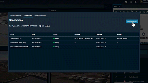
Enhanced Connections to Avigilon Video Management Systems
A new enhanced experience for cloud-based provisioning and live streaming is now available for the Avigilon video management systems (VMS), Unity and Alta, in CommandCentral Aware. Agencies can extend their video footprint even further by connecting to cameras from both agency and partner-owned Avigilon VMS.
Talk to your customer success representative about getting started with the new enhanced experience.
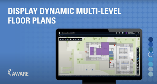
Upgrade Your CommandCentral Aware Map Experience
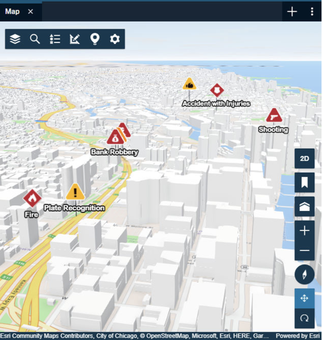
3D Scenes Map Layer
3D Scenes is a map layer that can be included in the CommandCentral Aware Map View module to help you better understand terrain, infrastructure, and potential obstacles. 3D Scenes allow you to explore a virtual representation of real-world locations and environments with depth and three-dimensional features; it provides an important layer of information that can improve response times and outcomes in emergency situations.
To access 3D Scenes and navigation controls, an Esri 3D Scene must be included in the Map View module as a map layer. If your community has Esri 3D Scene layers, your system administrator can include them in the Map View by adding them to CommandCentral Admin 2.0. For more information, see the CommandCentral Aware Admin Guide.
Read more about 3D Scenes in the 12-05-23 release notes.
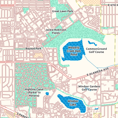
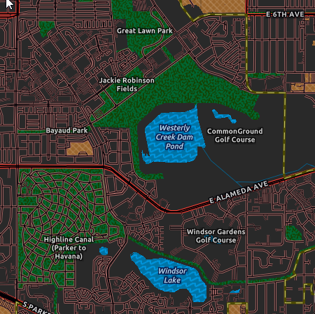
Enhanced Contrast Maps
Esri Enhanced Contrast Maps are now available as CommandCentral Aware basemaps in light and dark modes. The map detail is built with higher contrast and colors that are safe for individuals with color vision deficiencies.
You can assign these basemaps to user groups in CommandCentral Admin 2.0 by going to Groups → Selected Group → Application specific settings → Universal Web Map. For more information, see the CommandCentral Aware Admin Guide.
Read more about Contrast Maps in the 12-20-23 release notes.